
SAN ANGELO – A frontal system with a no-as-hot air mass described by meteorologists as a 'cold front' has sagged into the Big Country Monday and will progress into the Concho Valley during the day preventing afternoon high temperatures from breaching the 100 degree mark for the first time in several days.
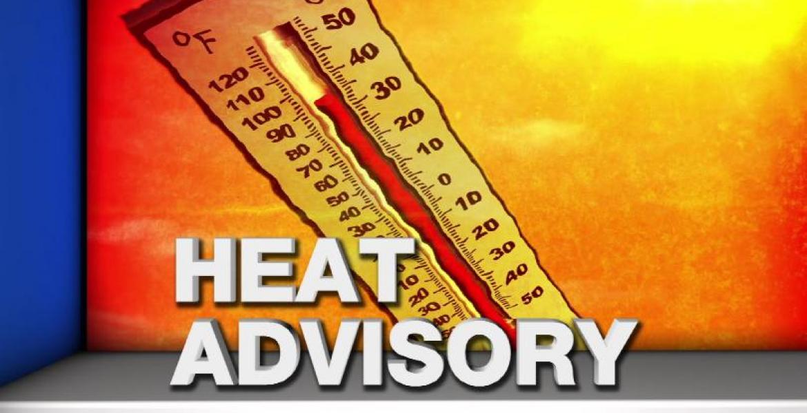
Excessive Heat Warnings will not be issued for the area Monday and Tuesday but will probably be necessary again as high pressure and heat returns by Wednesday.
The forecast calls for afternoon high temperatures around 99 degrees in the San Angelo area Monday and Tuesday. There is also a slight chance for isolated thunderstorm development which could produce more lightning strikes than rainfall Monday evening.
A Wildfire Danger Statement remains in place because of dry fuels, gusty winds and seasonal August, mid-summer temperatures.
The last time the afternoon didn't reach above 100 degrees was July 22. There have been 56 days in 2023 where the temp has met or exceeded 100 degrees including all time highs of 114 on June 20 and 21.
Temps are forecast to return to the 105 to 108 degree range beginning Wednesday so Heat Advisories and Excessive Heat Warnings will return for mid-August.

")
Subscribe to the LIVE! Daily

Required
Post a comment to this article here: