
SAN ANGELO – An Excessive Heat Warning and Wildfire Danger Advisory Friday will give way to a strong and wet cold front Monday across West Central Texas ending the 100 degree days for a while.
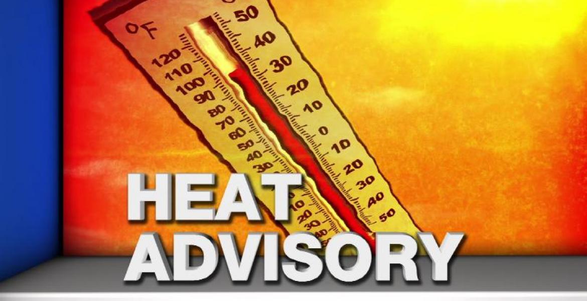
That dome of high pressure will create high temperatures near 109 degrees Friday afternoon across parts of West Texas so that Excessive Heat Warning will be in effect from 1 p.m. to 9 p.m. A Heat Advisory will be in effect Saturday afternoon as temps reach around 103.
That strong cold front will come through the region Monday into Tuesday bringing a chance for much needed rain and much cooler temperatures. There will be an increasing chance of rain starting Sunday and intensifying Monday and Tuesday and the front blows through. Rain chances begin at around 20% Saturday and increase to 30% to 50% by Monday. Temperatures Wednesday through Friday next week will be below normal with highs in the 80s and overnight lows in the 60s.
The timing of the cold front is still in question so when and how much rain will fall and exactly when cooler temps will arrive is uncertain.
We will update this information throughout the weekend.

")
Subscribe to the LIVE! Daily

Required
Post a comment to this article here: